






OCT 27 | 4:00 PM

Todas las subastas / Libros, mapas, papel & manuscritos / Map of Prussia and the Baltic Sea

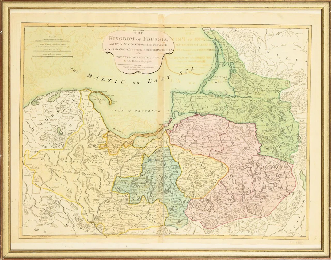
Map of Prussia and the Baltic SeaArea-colored copperplate engraving.46 x 62 cm. Framed & under glass : 56 x 71 cm."The Kingdom of Prussia and its newly Incorporated province of Polish Prussia now named Western Prussia with the territory of Dantzick," by John Roberts, London 1794. Middle-crease ripped. Visible imprints from the reverse side, from previous folding of the sheet.*This is an automatically generated translation from German by deepl.com and only to be seen as an aid - not a legally binding declaration of lot properties. Please note that we can only guarantee for the correctness of description and condition as provided by the German description.
Estimación:€60
Ir a la subastaVer todos los artículos deWendl AuktionshausoLibros, mapas, papel & manuscritos
Estimación:
€60
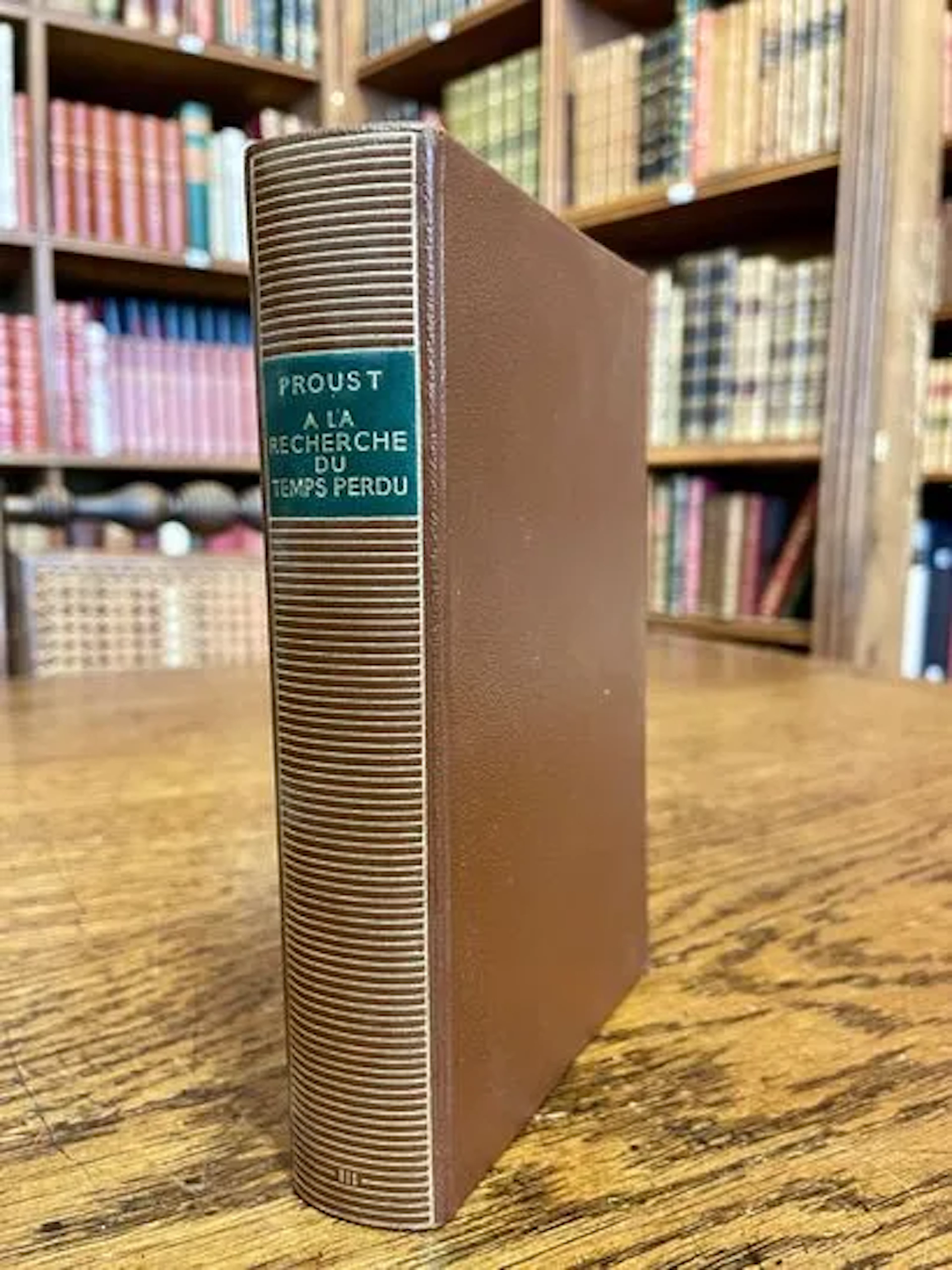
PROUST — À LA RECHERCHE DU TEMPS PERDU III — PLÉIADE — 1956 - Lot 237
10/11/2026

€12
Est.: €15
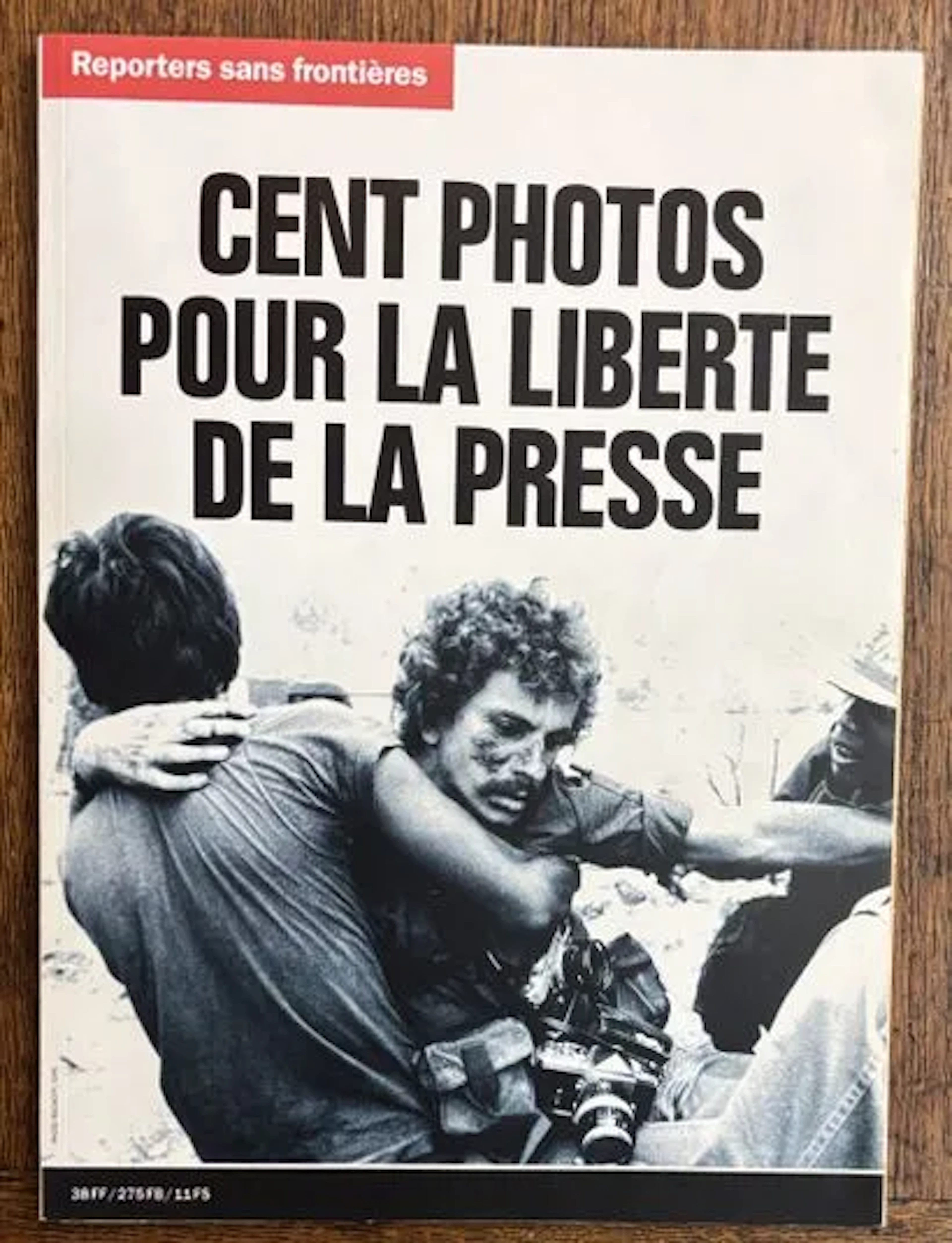
REPORTERS SANS FRONTIÈRES — CENT PHOTOS POUR LA LIBERTÉ DE L - Lot 251
10/11/2026
€6
Est.: €10
OCT 27 | 4:00 PM
¡Lleva tu subasta a coleccionistas de todo el mundo!
Publica ahoraAl suscribirte, aceptas la política de privacidad. Cancela tu suscripción en cualquier momento.
Barnebys HQ
Brahegatan 10
BOX 5038
114 37 Stockholm
