
Todas las subastas / Libros, mapas, papel & manuscritos / "Railway Atlas of Germany, Belgium, Alsace, and the northernmost part of Italy"

"Railway Atlas of Germany, Belgium, Alsace, and the northernmost part of Italy"
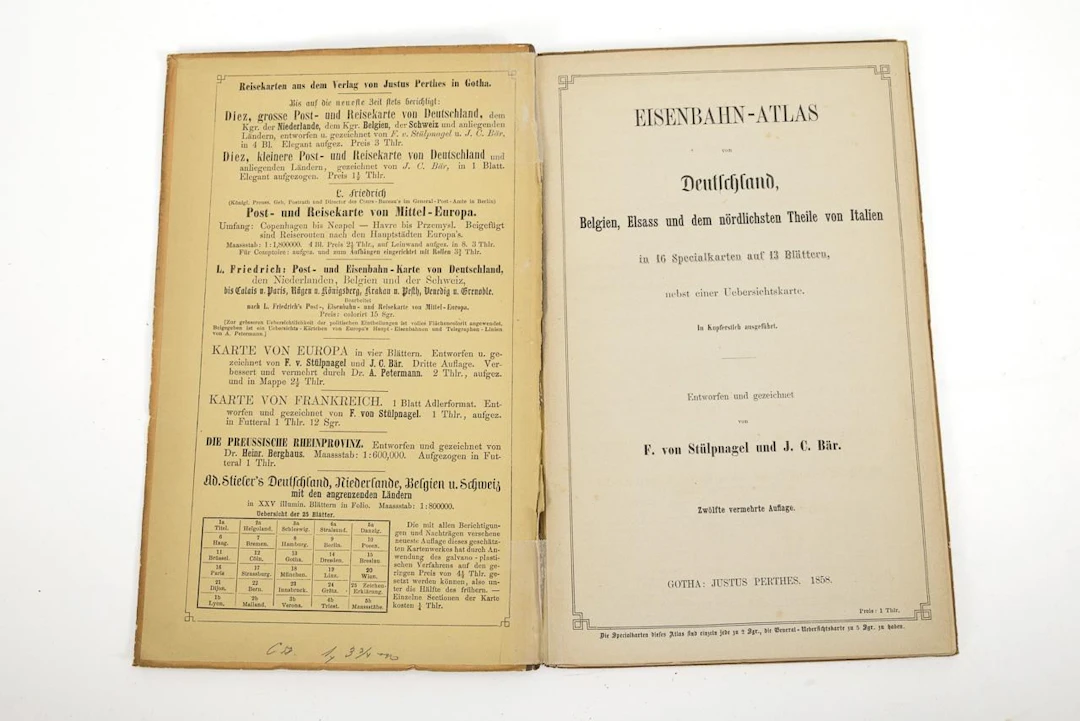
"Railway Atlas of Germany, Belgium, Alsace, and the northernmost part of Italy"Justus Perthes Publishing House. Gotha. 1858. 23.5 x 15 cm.12th expanded edition, by F. von Stülpnagel and J. C. Bär. Large map of Germany and neighboring regions and 13 double-page maps.Extensive railroad network just 23 years after the first train ran in Germany.*This is an automatically generated translation from German by deepl.com and only to be seen as an aid - not a legally binding declaration of lot properties. Please note that we can only guarantee for the correctness of description and condition as provided by the German description.
Estimación:€70
Ir a la subastaVer todos los artículos deWendl AuktionshausoLibros, mapas, papel & manuscritos
Estimación:
€70
Artículos similares





Resultados de subastas para artículos similares
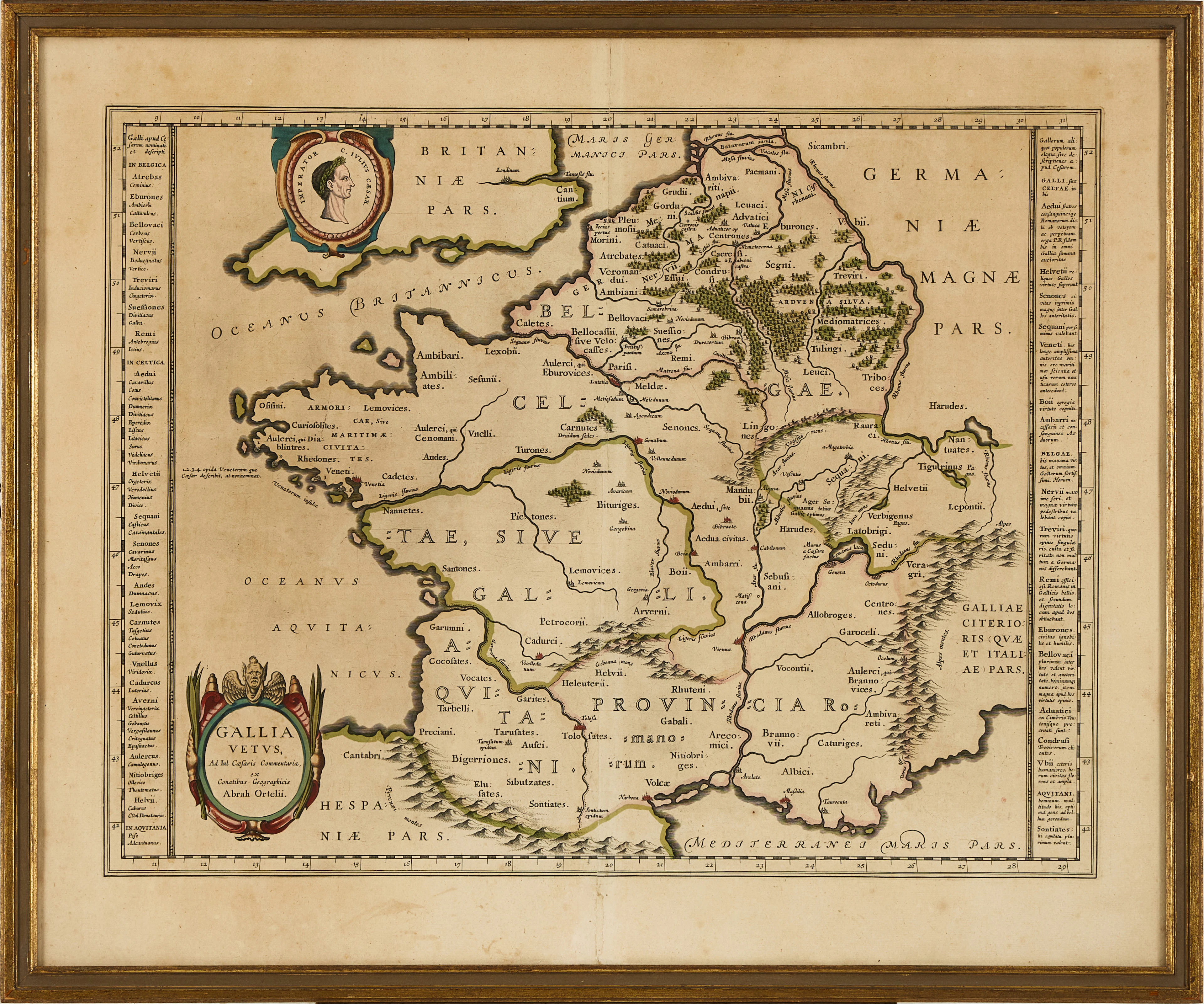
KARTA ÖVER FRANKRIKE, ORTELIUS GALLIA VETUS, ca 1590-1610.
10/06/2026
€71.43
Est.: €133.21
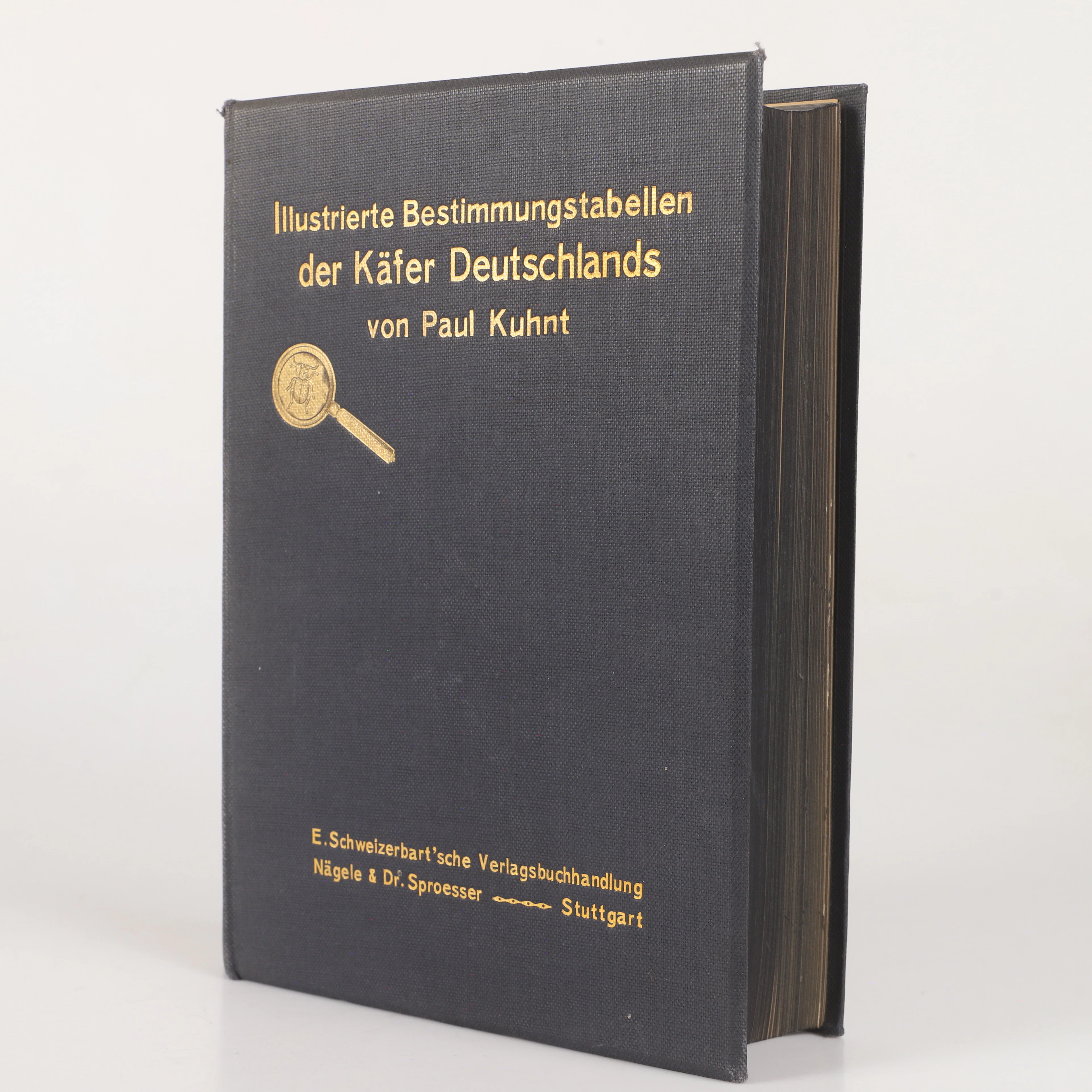
BOK, "Illustrierte bestimmungstabellen der käfer Deutschland"Paul
10/06/2026

€26.78
Est.: €35.29
¡Lleva tu subasta a coleccionistas de todo el mundo!
Publica ahora